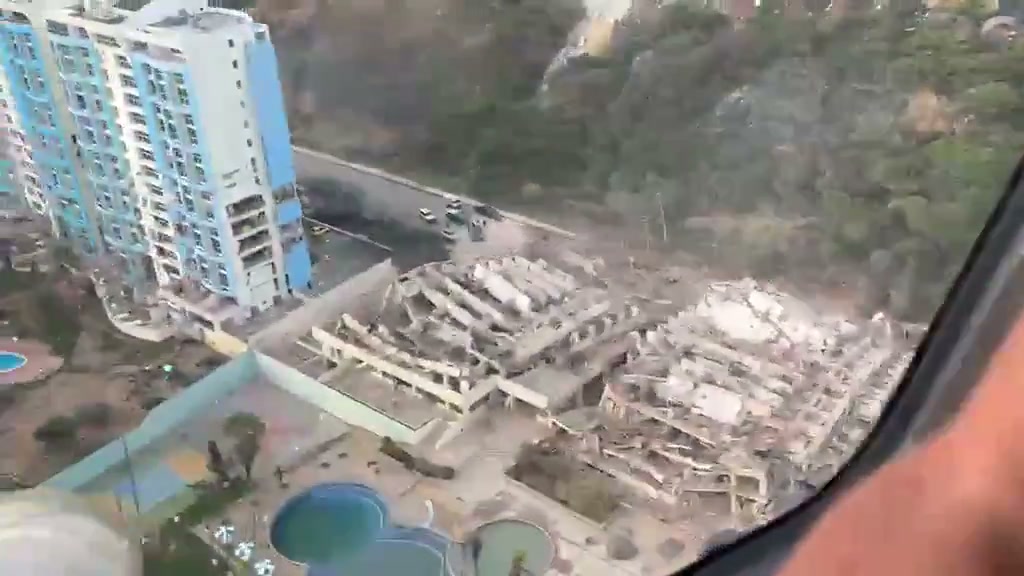
New images from the air confirm the scale of the disaster in La Guaira, the coastal state north of Caracas, after the two earthquakes of magnitude 7.2 and 7.5 that shook Venezuela on the afternoon of Wednesday, June 25, 2026. The account Scope Report published an aerial video in which collapsed buildings can be seen, streets blocked by debris and entire neighborhoods affected by the most powerful earthquakes in the country in more than a century.
Video: aerial damage in La Guaira
The Scope Report footage covers urban areas of La Guaira from the air with collapsed structures and blocked roads. The post was published on June 25, 2026 with the text: "Aerial footage shows extensive damage across La Guaira, Venezuela." Source: @ScopeReport_ in X
What the video shows
The aerial shots allow us to dimension what is difficult to see from the ground: blocks of flats with collapsed roofs, piles of rubble next to coastal avenues and multi-story buildings reduced to ruins. La Guaira concentrates part of the port and the road to the Simón Bolívar international airport in Maiquetía —critical infrastructure that was out of service due to damage to the runway and terminal, according to Associated Press and Simple Flying.
International media have verified other clips from the region, including the collapse of the Eduard Hotel near the airport and the moment in which that the tremor shakes the Maiquetía terminal, with dust falling from the ceiling while passengers scream and throw themselves to the ground.
Context: the earthquakes and the official response
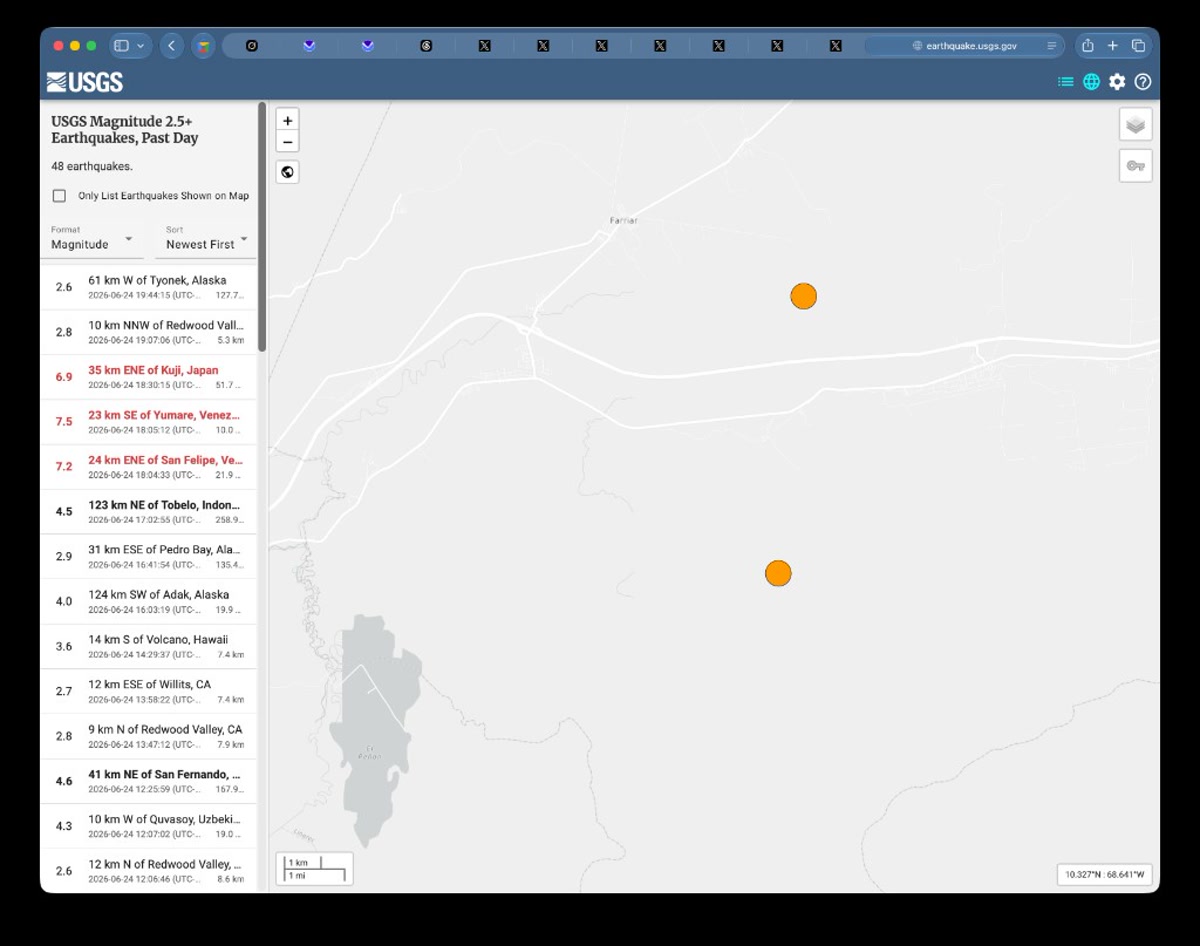
The USGS located the first event (M7.2) about 170 km west of Caracas, near Morón, at 18:04 local time; less than a minute later the magnitude 7.5 arrived. Although the epicenter was on the central coast, Caracas, Miranda, La Guaira and Trujillo recorded severe damage. The acting president Delcy Rodríguez declared a state of emergency and described La Guaira as a «true tragedy» and disaster zone, according to Deutsche Welle.
The official toll rose quickly: Rodríguez reported at least 164 dead and 971 injured, with rescue teams concentrated in La Guaira to take advantage of the daylight hours. State television showed three children rescued alive from the rubble. France, Spain and the United States offered humanitarian aid; Secretary of State Marco Rubio announced a “whole-of-government” response, although the closure of the airport complicates logistical access.
For the complete chronology of the first day – USGS map, gallery of verified videos and coverage in Maiquetía – see our note on last hour of the 7.5 magnitude earthquake and the monitoring of the state of emergency declared by Delcy Rodríguez.
In summary
Aerial video from Scope Report documents the devastation in La Guaira following the twin earthquakes of June 25, 2026 in Venezuela. With more than 160 dead, almost a thousand injured and the country's main airport closed, the images from the air are one of the clearest evidence that the coast north of Caracas is one of the areas hardest hit by the worst Venezuelan seismic episode in more than a century.
Most read
What readers are engaging with right now.
- Culture
Goose, the gay app that competes with Grindr, reaches the top 4 of Lifestyle in the App Store

- World
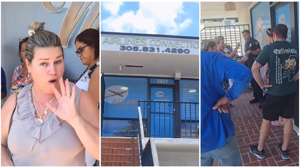
Cubans protest in Miami against Airlines Connections for alleged scam: they demand up to $20,000 in packages to Punta Cana
- World
Trump declares the ceasefire with Iran over, orders new attacks in Hormuz and demands cutting trade with Spain in NATO
- Culture
Harry Potter on HBO: complete guide to the series (not yet released and already renewed for T2), dates, cast and controversies

- Culture
DUK App: Aly Sánchez launches her habits app "one day at a time" with a 63-day program
- Culture
I'm Edgy and Edgy Labs: From Nebraska's Walmart to a beef tallow cream brand that sells across the US.

- Culture
The Evening of the Year VI: all the winners, fights and performances of the Ibai night in Seville

- World
The FBI is investigating the AFA for alleged fraud and money laundering: about $300 million in sponsorships and operations in the US.
- World
El Cangrejo: profile of Raúl Guillermo Rodríguez Castro, Raúl Castro's grandson between GAESA, leaked luxuries and the first interview of 2026