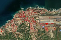
A 3D scene in ArcGIS allows you to explore the estimated damage in Catia La building by building Mar, coastal municipality of the La Guaira state, after the double earthquake of June 24, 2026 in Venezuela. The Web Scene «Affectation in Catia La Mar, Earthquake 2026.06.24», published by Rodolfo Franco, now exceeds 35,000 visits and combines a 3D basemap from Esri with a layer of affected structures derived from the Microsoft AI for Good Research Lab, distributed by OCHA HDX.
How to explore the 3D map
The scene is publicly available at ArcGIS Online. From the viewfinder you can rotate the camera, zoom in on specific neighborhoods, and view attributes for each building polygon—including percentages of damage at different distances from the apparent epicenter and a “damaged”/“unknown” flag. The author indicates that the source of the layer is the Venezuela Earthquakes: Building Damage Assessment in Catia La Mar dataset in HDX.
3D scene: affected buildings in Catia La Mar
Interactive Web Scene by Rodolfo Franco with data from the Microsoft AI for Good Lab. If it does not load, open the scene directly in ArcGIS Scene Viewer. Source: ArcGIS Online
What Microsoft's AI analysis says
The Microsoft AI for Good laboratory applied artificial intelligence models on real satellite images captured after the earthquakes to estimate the state of the buildings. The dataset, published on the UN's HDX humanitarian platform, covers 30,761 buildings in Catia La Mar —one of the most affected towns on the Venezuelan coast, along with Maiquetía and other areas of La Guaira documented in our Scope Report aerial video.
According to the breakdown collected by the data team of Latest News about the same source:
- 28,848 buildings could be clearly classified; 1,913 (6.2%) were left as "unknown" because more than half of their pixels did not allow a reliable reading.
- Among those classifiable, 19,799 do not show visible damage (68.6%).
- 9,049 buildings present some level of damage: 31.4%, that is, almost one in three.
- The most frequent category among those damaged is “very high”: 3,987 structures (44.1% of affected buildings).
- This is followed by mild damage (2,823 cases) and intermediate levels to a lesser extent.
What it is for — and what it cannot do
The map license warns that it is an indicative visualization originating from satellite data and intended for academic use. It does not allow specific conclusions to be drawn about a specific property—that requires engineers and experts on the ground—but it does offer an aggregated x-ray of the disaster when access to La Guaira remains restricted and the official death toll now exceeds a thousand.
International media such as The Independent (with material from the Associated Press) have cited Microsoft's analysis to contextualize why rapid housing neighborhoods, soft soils and previous buildings Modern seismic standards amplified the impact of the worst Venezuelan seismic episode in more than a century.
In summary
What is it? A 3D scene in ArcGIS of Catia La Mar with buildings colored according to damage dear. Who made it? Rodolfo Franco, with data from the Microsoft AI for Good Lab in HDX. What do you conclude? Of 30,761 buildings mapped, 9,049 show visible damage (31.4% of those classifiable). More context? Special coverage of the earthquake.
Most read
What readers are engaging with right now.
- Culture
Goose, the gay app that competes with Grindr, reaches the top 4 of Lifestyle in the App Store

- World
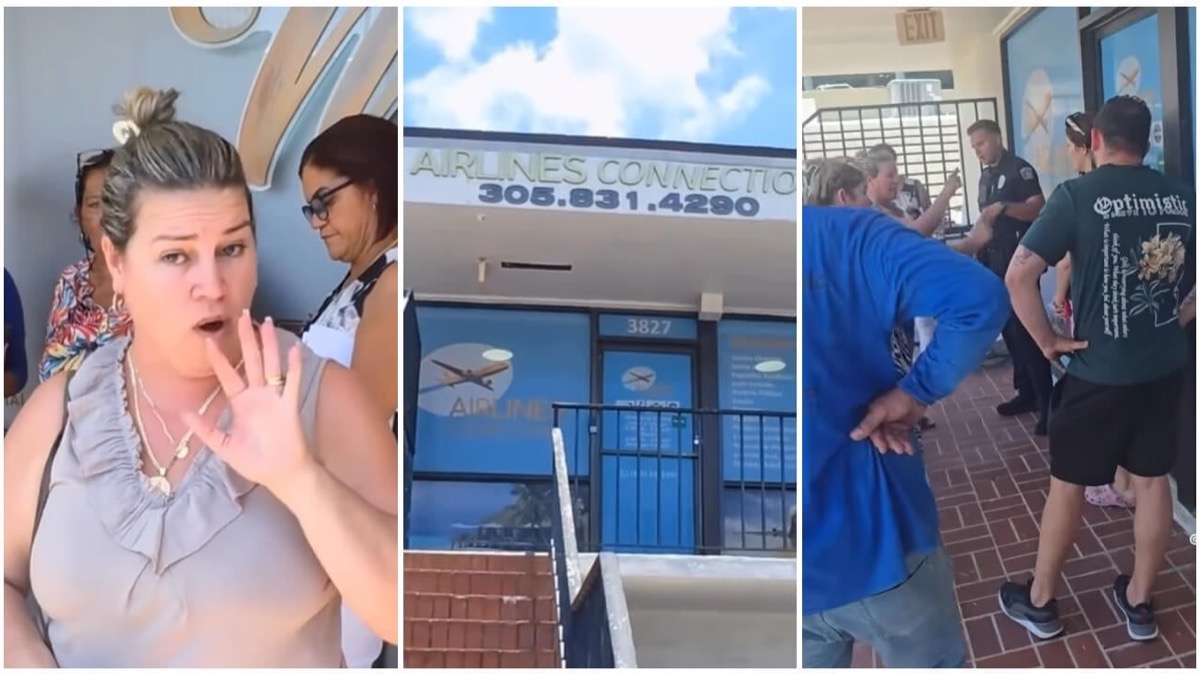
Cubans protest in Miami against Airlines Connections for alleged scam: they demand up to $20,000 in packages to Punta Cana
- World
Trump declares the ceasefire with Iran over, orders new attacks in Hormuz and demands cutting trade with Spain in NATO

- Culture
Harry Potter on HBO: complete guide to the series (not yet released and already renewed for T2), dates, cast and controversies

- Culture
DUK App: Aly Sánchez launches her habits app "one day at a time" with a 63-day program
- Culture
I'm Edgy and Edgy Labs: From Nebraska's Walmart to a beef tallow cream brand that sells across the US.

- Culture
The Evening of the Year VI: all the winners, fights and performances of the Ibai night in Seville

- World
The FBI is investigating the AFA for alleged fraud and money laundering: about $300 million in sponsorships and operations in the US.
- World
El Cangrejo: profile of Raúl Guillermo Rodríguez Castro, Raúl Castro's grandson between GAESA, leaked luxuries and the first interview of 2026