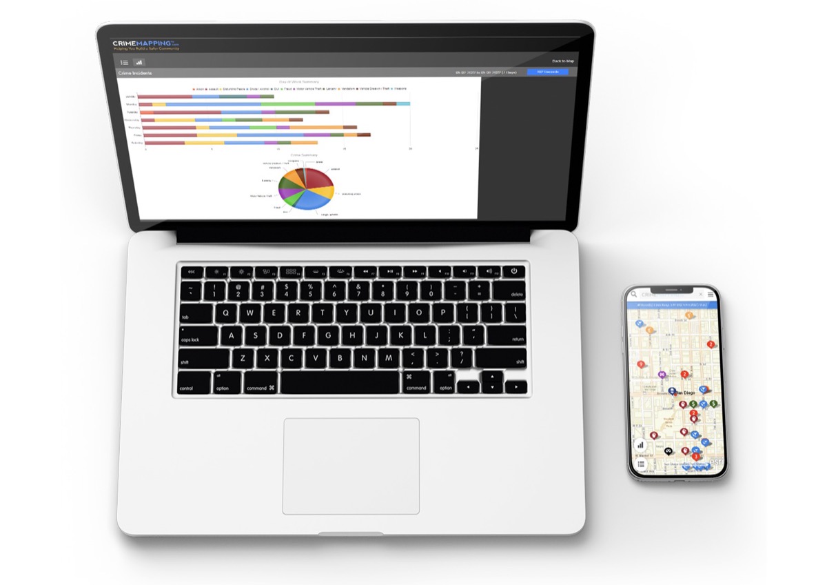
If you are moving to a neighborhood in the United States or want to contrast local rumors with official data, CrimeMapping.com is one of the most widespread tools to see recent crime incidents on a map. It is not a universal real-time radar: it only shows what each participating police department chooses to publish, imported from their system of records. This guide explains how it works, what you can (and can't) expect, and how to activate email alerts.
Video: how CrimeMapping.com works
Official tutorial: search by location or agency, date and type filters, report views and creating alerts. Source: YouTube
What is CrimeMapping.com
CrimeMapping.com is a service of CentralSquare Technologies aimed at community policing: subscribing agencies send incident data and the portal shows them to the public in an anonymized way. The site has been active since the 1990s (the footer cites © 1990–2024 CentralSquare) and today brings together departments from all over the country.
The stated objective is for better-informed neighbors to collaborate in reducing crime. As the portal itself summarizes in its “About” section, the data is extracted from the existing records system in each agency through an automated import process, so what you see should be the most up-to-date that that office publishes.
How to start a search
On the home page there are two paths:
- Near a Location: you enter an address, park, school or other point of interest and choose a search radius.
- Near an Agency: you select an already participating police department and enter their jurisdiction directly.
Once inside the map (crimemapping.com/map), by default the activity of the last week is usually shown. You can expand or shorten the date range, filter crime types, and switch to report or graph view from the side menu. By clicking on a specific incident you will see the details available for that record.
Where the data comes from (and its limits)
Each point on the map corresponds to an incident report documented by the agency: it can originate from a patrol, a citizen complaint or even an online report, as explained by the San José (CA) police, one of the jurisdictions that document the service.
- It is not real time: many agencies update once a day (San José indicates refreshment at 1:01 AM).
- It does not cover the entire country: only departments that pay for the service and choose to share data.
- Privacy: addresses are generalized by block so as not to expose victims; no personal names appear.
- Historical window: in San José you can consult up to 180 days back; Other agencies may set different rules.
- Sex offenders: some agencies add data on sex offenders; If they are available, the map indicates it with a notice above.
Personalized email alerts
At Receive Alerts you can create free alerts. The flow, according to the public form:
- Choose type of alert: Crime or Sex Offender.
- Enter a name for the alert and your email.
- Defines the location (address required) and radius: from 500 feet to 2 miles.
- Select which crime categories you want to include.
- Confirm that the local agency participates in CrimeMapping (if there is no data, the alert will not work).
You will only receive an email if there is new activity reported in the area and types you marked — it is not an empty daily summary. You can manage multiple alerts, change the radio or unsubscribe from the link at the bottom of each message.
Your city doesn't appear?
Sharing data is a voluntary decision of each department. CrimeMapping makes it clear: if you think your agency should join, contact your local public information officer and mention the service; According to the portal, a resident's request weighs more than a generic email from the company.
CentralSquare sells CrimeMapping as part of its public safety software suite. For agencies, it offers readable maps, advanced filters, mobile access and the citizen alert layer described in its commercial file.
Practical tips when using the map
- Contrast with the context: a spike in robberies may reflect more reports, not necessarily more crimes.
- Look at the date of the incident and the exact type before jumping to conclusions.
- Combine sources: to buy a house or open a business, also review annual statistics from the FBI (UCR/NIBRS) and local data from the sheriff or mayor's office.
- Activate alerts if you are interested in a specific radius (home, child's school, business premises).
- Check your agency's FAQ: San José links to its General CrimeMapping FAQ and local nuances.
Privacy and conditions
Use of the site constitutes the Terms & Conditions and CentralSquare's Privacy Policy. The data shown is informative: it does not replace a police report nor does it constitute legal advice. If you witness a crime in progress, call 911 (or your local emergency number), don't just look at the map.
For questions about the product you can use the contact form on the portal. For specific incidents or corrections to a record, always contact the police department that generated the information.
Most read
What readers are engaging with right now.
- Culture
Goose, the gay app that competes with Grindr, reaches the top 4 of Lifestyle in the App Store
- World
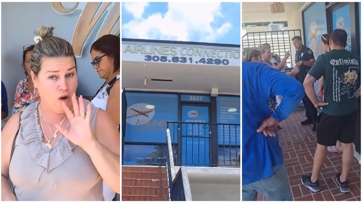
Cubans protest in Miami against Airlines Connections for alleged scam: they demand up to $20,000 in packages to Punta Cana
- World
Trump declares the ceasefire with Iran over, orders new attacks in Hormuz and demands cutting trade with Spain in NATO

- Culture
Harry Potter on HBO: complete guide to the series (not yet released and already renewed for T2), dates, cast and controversies

- Culture
DUK App: Aly Sánchez launches her habits app "one day at a time" with a 63-day program

- Culture
I'm Edgy and Edgy Labs: From Nebraska's Walmart to a beef tallow cream brand that sells across the US.

- Culture
The Evening of the Year VI: all the winners, fights and performances of the Ibai night in Seville

- World
The FBI is investigating the AFA for alleged fraud and money laundering: about $300 million in sponsorships and operations in the US.

- World
El Cangrejo: profile of Raúl Guillermo Rodríguez Castro, Raúl Castro's grandson between GAESA, leaked luxuries and the first interview of 2026